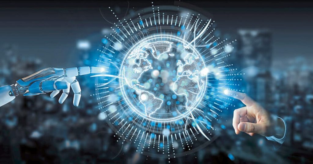
In recent years, Deep Learning has emerged as the leading approach to developing Artificial Intelligence (AI), enabling machines to perceive and understand the world. This advancement has had a significant impact on various industries, including healthcare, finance, advertising, retail, manufacturing, and transportation. However, the geospatial industry has also witnessed the transformative power of AI and Deep Learning, presenting new opportunities and challenges.
At the Geospatial World Forum 2017 in Hyderabad, experts from different sectors gathered to discuss the potential impacts of AI and Deep Learning on the geospatial community. The workshop shed light on the sectors that could experience the most significant economic changes by integrating geospatial and deep learning technologies. Defense and intelligence, along with the commercial business sector, were identified as leaders in adopting these technologies. However, the impact extends beyond specific sectors, influencing society as a whole. From agriculture and climate change science to security applications and interconnected infrastructure, AI and Deep Learning have the potential to reshape various aspects of our lives.
Geospatial data, which forms the core asset of the geospatial industry, plays a vital role in leveraging AI and deep learning for innovative solutions. With its ability to bring together different data sources using geographic coordinates, geospatial platforms provide a context-rich environment for AI algorithms. Sensor fusion technology, an essential component of AI and Deep Learning systems, combines inputs from multiple sensors such as cameras, radar, and LiDAR to make intelligent decisions.
While automation driven by AI and Deep Learning presents opportunities for increased efficiency and productivity, there are concerns about the potential threat to human resources. It is widely recognized that the rate of automation may outpace the rate at which humans can be retrained for new roles. However, automation also creates opportunities for new forms of analysis and solution development, requiring diverse skill sets. Although some occupations may become obsolete, new career options and avenues for continuous innovation will emerge.
The pace of automation is crucial in determining the impact on human skills. As technology progresses, human capabilities adapt and evolve. The integration of AI and Deep Learning enhances the capabilities of Geographic Information Systems (GIS), making them more efficient and user-friendly. Geospatial professionals can leverage the power of deep learning to extract valuable information from visual data sets, revolutionizing data analysis and decision-making processes.
Adapting and reskilling is critical to embracing the opportunities presented by AI and Deep Learning in the geospatial industry. Geospatial professionals should strive to understand these technologies and their potential impact on their respective fields. Embracing automation and leveraging deep learning algorithms can significantly enhance the efficiency and effectiveness of geospatial operations.
The connection between geospatial ecosystems and deep machine learning holds immense potential for shaping a smarter world. As AI and Deep Learning continue to reshape our society and industries, it is crucial for the geospatial industry to embrace these advancements and harness their power to generate valuable insights and drive sustainable development.
AI and Deep Learning have the power to revolutionize the geospatial industry. By integrating geospatial data and advanced algorithms, these technologies offer new opportunities for automation, analysis, and decision-making. While concerns about automation’s impact on human resources exist, the changing landscape also presents avenues for innovation and the development of new skill sets. The geospatial industry must adapt and embrace AI and Deep Learning to unlock their full potential in shaping a smarter, more sustainable world.


