Applications

A mix of earth observation data and indigenous knowledge for sustainable ecosystems restoration

By: Albright Okech

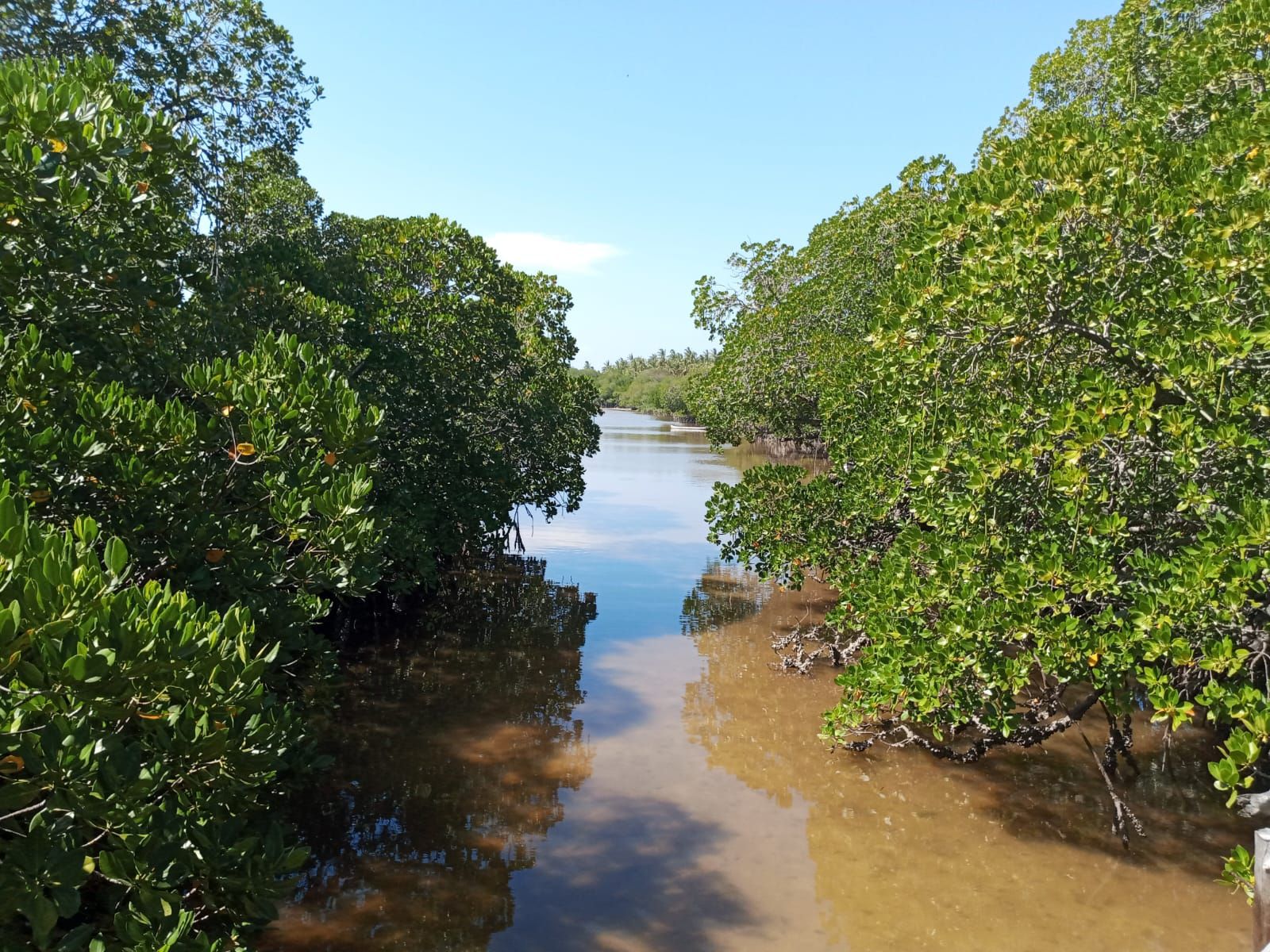
Indigenous knowledge about land and other natural resources is critical for sustainable management of sensitive ecosystems such as mangrove forests.

In particular, information about geomarkers that traditional communities used to identify locations of mangroves degradation and sites for different mitigation is critical in developing adaptive strategies for mangrove conservation in the face of climate change and anthropogenic influences.

At GeoPsy Research, we are supporting local CBOs and communities in Kilifi county to promote management of mangrove forests through the integration of earth observation data analysis and indigenous knowledge of the forests.

Specifically, we are currently engaging Community-Based Organization for Environmental Conservation (COBEC) and Kenya Forestry Research Institute (KEFRI) to craft ideas for multidisciplinary research whose aim is to promote sustainable restoration and management of coastal forests.

Related Posts

Exploring GIS Career Paths: In-Demand Opportunities Backed by Industry Reports and Statistics

Geographic Information Systems (GIS) have revolutionized the way we analyze, interpret, and visualize spatial data. With the increasing importance of location-based information across various industries, GIS professionals are…

Geo-coding Addresses Using QGIS

QGIS may be used to visualize and map addresses if you have a CSV file with addresses in it. This article provides a detailed tutorial with step-by-step directions…

Perfoming Spatial Analysis

Most data and measurements can be linked to specific locations and hence plotted on a map. You can tell what is present and where it is by using…

Python Libraries for GIS and Mapping

Python libraries are the ultimate extension in GIS because they allow you to boost its core functionality. By using Python libraries, you can break out of the mold…

IMAGE CLASSIFICATION IN REMOTE SENSING

By Godwin Murithi Remote sensing is a technology that has been used for decades to collect information about the Earth’s surface using sensors mounted on satellites, airplanes, or drones….

Geospatial Information Systems and Climate Action: Mapping a Sustainable Future

Geospatial Information Systems (GIS) are transforming the way we understand our planet and make decisions about how to address climate change. GIS technology allows us to visualize, analyze,…

Leave a Reply

Your email address will not be published. Required fields are marked *