By Gacheri Nturibi
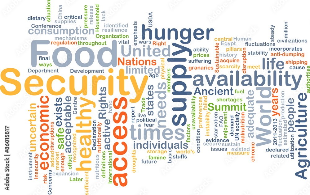
The conversation on food security revolves around ensuring food is available, accessible, affordable and adequate for all citizens. In recent times food insecurity has become a key issue affecting most nations, with its increase mainly attributed to the increasing global population.
Further causes of food insecurity include the COVID-19 crisis that resulted in an increase in food prices due to food scarcity and a loss in people’s purchasing power due to job losses. Sustainable Development Goal 2 highlights all the information on creating a hunger-free world by 2030.
In Kenya, the ballooning population has pushed more people to occupy arable lands, leaving little land for agriculture. It’s therefore critical to exploit Arid and Semi-Arid Lands (ASAL) for agriculture.
With ASAL regions accounting for more than 80% of the country’s land mass, practicing agriculture in these regions will not only promote food security but also result in economic gains.
Geopsy Research has embarked on a project that aims to assess the dynamics of irrigated farmland in dryland river corridors in Kenya.
The project aims to use readily available satellite imagery to map the geographic extent and study the spatiotemporal changes of irrigated farmlands in the Mashuru area of Kajiado county. By determining the optimal satellite-derived indices and machine learning models best suited to detect irrigated farmlands in the study area, it will be possible to extrapolate the growth of irrigated farmlands in the study area and other ASAL regions.
The findings will make it possible to understand the influence of farmland conversion of ground surface water occurrence in the dryland rivers as well as the impact of dryland farming on food security.


